
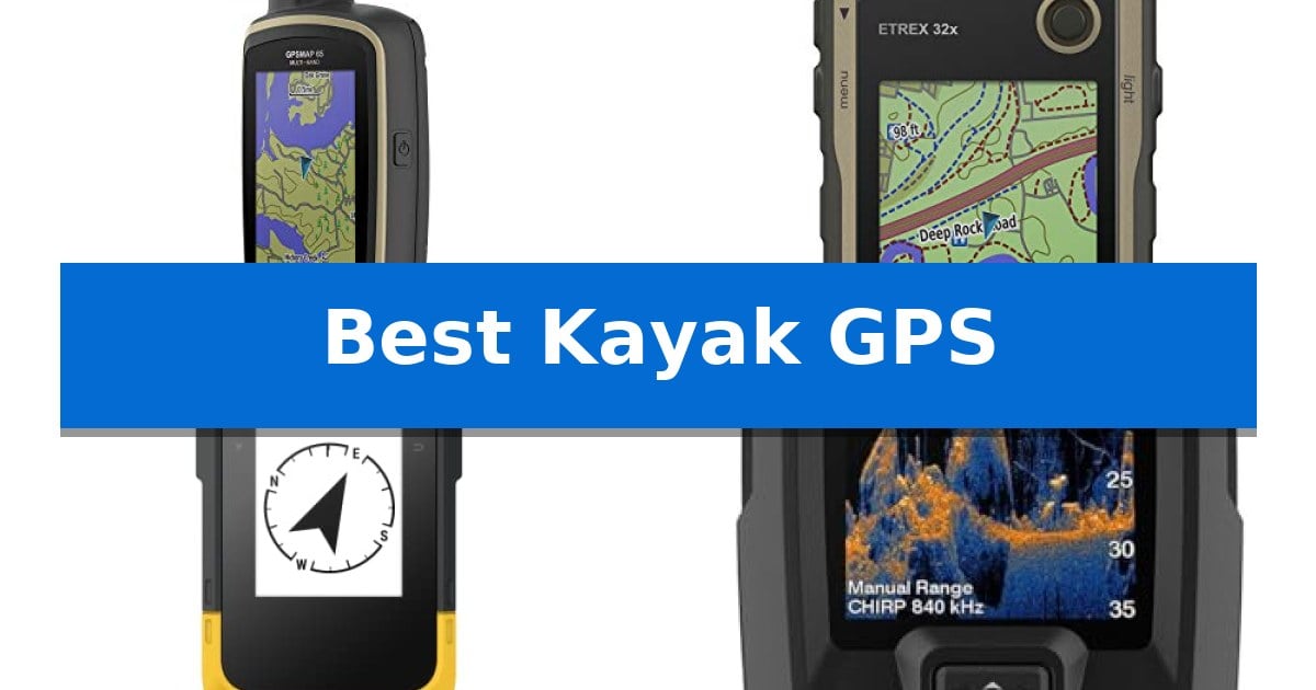
Finding your way across open water or through dense, winding marshlands requires more than just a keen eye. A reliable navigation tool ensures you can track your progress, mark productive fishing spots, and return to your launch point safely, even when landmarks are obscured by vegetation or changing light conditions.
We have evaluated the Best Kayak GPS options available in 2026 to help you choose the right device for your specific needs. Whether you require advanced satellite reception in deep canyons or integrated sonar for scouting underwater structure, the right equipment makes all the difference in your time on the water.
Best Kayak GPS in 2026
Quick Comparison
| Product | Best For | Key Strength | Score |
|---|---|---|---|
| Garmin GPSMAP 65 Handheld GPS | Best Overall | Multi-band technology for superior accuracy in dense cover. | 4.9 |
| Garmin eTrex 32x Handheld GPS | Reliable Navigation with Barometric Altimeter | Dual satellite system support (GPS and GLONASS) for improved tracking reliability. | 4.8 |
| Garmin eTrex SE Handheld GPS | Extended Battery Life for Expeditions | Exceptional battery life reaching up to 1,800 hours in expedition mode. | 4.9 |
| Garmin Striker Vivid 4cv Fishfinder | Compact Sonar with Waypoint Mapping | High-sensitivity GPS for accurate waypoint marking and route creation. | 4.5 |
| Humminbird Helix 5 G3 Fishfinder | Detailed Lake Mapping and Sonar | Dual Spectrum CHIRP Sonar for versatile wide and narrow scanning. | 4.5 |
How We Chose
- Satellite signal reliability in challenging environments like dense tree cover or narrow canyons.
- Display readability under direct, high-glare sunlight common on open water.
- Durability and water resistance ratings to withstand accidental splashes or submersion.
- Mapping capabilities, including support for topographical data and custom waypoint management.
- Battery longevity and power management for extended day trips or multi-day expeditions.
1 Garmin GPSMAP 65 Handheld GPS — Superior Accuracy in Dense Cover
Navigating remote waterways requires reliable positioning, and the Garmin GPSMAP 65 Handheld GPS provides this through its advanced multi-band technology. This feature is specifically engineered to maintain signal integrity in challenging environments, such as areas with dense tree cover or steep terrain, where standard GPS signals often struggle.
The device features a large 2.6-inch sunlight-readable color display, ensuring that maps and waypoints remain visible even in bright, direct outdoor lighting. Its button-operated design offers a tactile interface that is often preferred for reliable control when hands are wet or when operating in variable weather conditions common to kayaking.
For navigation, the unit comes pre-loaded with routable TopoActive mapping and federal public land maps, providing essential topographical context for planning routes. The integration with the Garmin Explore website and app allows users to manage tracks and waypoints efficiently, provided they have a compatible smartphone for syncing data.
Built for durability and precision, this handheld serves as a robust tool for those who prioritize location accuracy over touchscreen interfaces. Its ability to access expanded global navigation satellite systems (GNSS) ensures that users have a consistent connection, making it a dependable companion for extended trips on the water.
Best for: Kayakers who prioritize high-precision satellite tracking and a tactile, button-operated interface for use in challenging, dense environments.
Skip if: Users who prefer a modern touchscreen interface or those who do not require advanced multi-band satellite support for their specific waterway routes.
PROS
- Multi-band technology for superior accuracy in dense cover.
- Sunlight-readable 2.6-inch display for clear visibility.
- Tactile button-operated interface for reliable control.
- Pre-loaded TopoActive mapping for immediate navigation support.
CONS
- Requires a compatible smartphone to utilize the full range of Garmin Explore app features.
- Button-only interface may feel less intuitive than modern touchscreen devices.
2 Garmin eTrex 32x Handheld GPS — Reliable Navigation with Barometric Altimeter
Navigating open water requires precision, and the Garmin eTrex 32x Handheld GPS provides a dedicated solution for those who need reliable positioning without relying on smartphone signals. This rugged device is built to withstand the elements, featuring a 2.2-inch sunlight-readable color display that ensures your coordinates and map data remain visible even in bright, glare-heavy conditions.
The unit comes preloaded with Topo Active maps, offering routable roads and trails that are essential for planning routes before you launch. Its ability to utilize both GPS and GLONASS satellite systems allows for more consistent tracking, particularly in environments where signal reception might otherwise be obstructed.
For paddlers who venture into varied terrain, the inclusion of a 3-axis compass and barometric altimeter provides critical orientation and elevation data. These tools help maintain your heading and track changes in weather patterns, adding a layer of situational awareness that standard mobile apps often lack.
Practicality is central to its design, as the device runs on two AA batteries which offer up to 25 hours of operation in GPS mode. With 8 GB of internal memory and an integrated micro SD card slot, you have ample space to store additional maps and waypoints for extended trips away from home.
Best for: Paddlers and outdoor enthusiasts who require a dedicated, weather-resistant navigation tool with long battery life for remote excursions.
Skip if: Users who prefer the large touchscreens and cellular connectivity of modern smartphones for navigation in areas with reliable network coverage.
PROS
- Dual satellite system support (GPS and GLONASS) for improved tracking reliability.
- Long battery life of up to 25 hours using standard AA batteries.
- Integrated 3-axis compass and barometric altimeter for advanced navigation data.
- Expandable storage via micro SD card slot for additional map downloads.
CONS
- Non-touchscreen interface may feel less intuitive compared to modern smartphone navigation.
- Smaller display size compared to mobile devices, which may limit map detail visibility.
3 Garmin eTrex SE Handheld GPS — Extended Battery Life for Expeditions
Navigating open water requires reliable positioning, and the Garmin eTrex® SE, GPS Handheld Navigator offers a robust solution for those who prioritize long-term field operation. Its standout feature is an exceptional power efficiency, providing up to 168 hours of battery life in standard mode and an impressive 1,800 hours in expedition mode using two field-replaceable AA batteries.
Designed for durability, the device features a water-resistant design (rated to IPX7), allowing it to withstand exposure to the elements common in kayaking. The 2.2” high-resolution display is engineered for visibility, ensuring that navigation data remains readable even under direct, bright sunlight.
Precision in challenging environments is supported by Multi-GNSS support, which utilizes multiple satellite systems including GPS, GLONASS, Galileo, BeiDou, and QZSS. When stationary, the integrated digital compass provides an accurate heading, helping users maintain orientation without needing to be in motion.
Connectivity expands the device's utility through the Garmin Explore app. By pairing the navigator with a compatible smartphone, users gain access to Active Weather updates, smart notifications, and seamless trip planning. Additionally, the unit supports Geocaching Live, which provides automatic cache updates, including logs and hints, directly to the handheld.
Best for: Kayakers and outdoor enthusiasts who require extreme battery longevity and reliable multi-satellite tracking in a compact, water-resistant form factor.
Skip if: Users who prefer a large, full-color touchscreen interface or integrated rechargeable lithium-ion batteries may find the button-operated, AA-battery design less convenient for their specific workflow.
PROS
- Exceptional battery life reaching up to 1,800 hours in expedition mode.
- Multi-GNSS support for enhanced tracking accuracy in difficult terrain.
- IPX7 water-resistant rating suitable for marine and paddle sports environments.
- Sunlight-readable display ensures clear visibility during daytime use.
CONS
- Requires external AA batteries, which are not included in the package.
- Small 2.2-inch screen may be less intuitive than larger touch-based navigation devices.
4 Garmin Striker Vivid 4cv Fishfinder — Compact Sonar with Waypoint Mapping
Navigating open water requires precise location tracking and the ability to map your surroundings, which is exactly where the Garmin Striker Vivid 4cv Fishfinder proves its utility for kayakers. This compact unit integrates a high-sensitivity GPS that allows you to mark waypoints, establish routes, and monitor your current speed directly from your cockpit.
The device features a 4-inch color display designed for clarity, utilizing vivid scanning sonar color palettes to help distinguish between fish and underwater structure. By including the GT20 transducer, the system provides both Garmin CHIRP traditional sonar and CHIRP ClearVü scanning sonar, offering a comprehensive view of what lies beneath your kayak.
For those who frequently explore new waters, the built-in Quickdraw Contours mapping feature is a significant advantage. This allows you to create and store your own detailed fishing maps with 1-foot contours, ensuring you can revisit productive areas with ease.
Installation is straightforward thanks to the included tilt/swivel bailmount bracket, which provides the flexibility needed for the confined space of a kayak. With a weight of approximately 11.2 ounces, it remains a manageable addition to your gear setup without compromising on essential navigation or fish-finding capabilities.
Best for: Kayakers who need a compact, integrated solution for marking waypoints and mapping underwater structure using CHIRP sonar technology.
Skip if: Users who require a larger display for split-screen multitasking or those who need advanced networking capabilities beyond basic sonar and GPS functions.
PROS
- High-sensitivity GPS for accurate waypoint marking and route creation.
- CHIRP ClearVü scanning sonar provides detailed imagery of underwater structures.
- Quickdraw Contours mapping enables custom map creation on the fly.
- Compact 4-inch design fits well in limited kayak cockpit spaces.
CONS
- Limited screen size may restrict the amount of data visible at once compared to larger units.
5 Humminbird Helix 5 G3 Fishfinder — Detailed Lake Mapping and Sonar
Navigating waterways requires precise location tracking and underwater visibility, which is where the Humminbird Helix 5 G3 GPS Fish Finder with Transducer & Dual Spectrum Chirp Sonar provides a specialized solution. This unit integrates Dual Spectrum CHIRP Sonar to deliver detailed views of fish arches and structure, utilizing both Wide Mode for expansive coverage and Narrow Mode for focused scanning.
The device features Enhanced GPS Navigation pre-loaded with the Humminbird Basemap, covering over 10,000 lakes and U.S. coastlines. For users requiring more specific data, the system maintains compatibility with premium chart options like LakeMaster, CoastMaster, and Navionics. This mapping capability is bolstered by AutoChart Live, which allows for real-time recording of depth contours, bottom hardness, and vegetation directly onto the device.
Designed for practical use in varying environments, the Humminbird Helix 5 G3 Fishfinder relies on a Reliable Keypad Control interface. This physical button system ensures consistent operation in weather conditions where touchscreens might struggle. The unit is built with a 5-inch display, providing a compact footprint that fits well on smaller vessels like kayaks without sacrificing essential navigation and sonar functionality.
While the device offers significant mapping and sonar depth, users should note that the AutoChart Live feature provides eight hours of built-in recording time. For extended mapping projects, the system supports AutoChart Zero Line SD cards to expand storage capacity. This modular approach allows the user to scale their data collection based on the length and frequency of their trips.
Best for: Anglers who need a compact, button-operated sonar and GPS unit for detailed lake mapping and structure identification.
Skip if: Users who require a large touchscreen interface or those who do not need advanced sonar and chartplotting capabilities for their specific watercraft.
PROS
- Dual Spectrum CHIRP Sonar for versatile wide and narrow scanning.
- Reliable Keypad Control ensures operation in all weather conditions.
- AutoChart Live enables real-time depth and vegetation mapping.
- Extensive compatibility with premium chart cards.
CONS
- Limited built-in recording time for mapping without additional SD cards.
- Compact 5-inch display may be small for users preferring larger navigation screens.
Best Kayak GPS Buying Guide
Satellite Reception and Accuracy
For kayakers navigating through dense forests or steep-walled canyons, multi-band GNSS technology is a critical feature. This allows the device to receive signals from multiple satellite constellations simultaneously, significantly improving positional accuracy in environments where signal reflection or blockage is common.
Choosing a unit with expanded satellite support ensures you maintain a reliable track even when your view of the sky is limited. This is essential for maintaining a consistent breadcrumb trail back to your starting point.
Display Clarity and Sunlight Readability
Kayaks offer little to no shade, meaning your GPS screen will be subjected to intense, direct sunlight. A sunlight-readable color display is non-negotiable for ensuring you can read your coordinates, maps, and depth readings without struggling against glare.
Look for screens that prioritize high contrast and brightness. While larger displays offer more detail, they can be harder to mount on smaller kayak decks, so balancing screen size with your available cockpit space is key.
Durability and Water Resistance
A kayak-specific GPS must be built to handle a wet environment. Most dedicated handheld units feature an IPX7 water-resistance rating, which protects the internal electronics against accidental immersion or heavy spray.
Beyond water resistance, consider the physical build of the device. Ruggedized housings and secure mounting systems are vital to ensure your unit stays attached to the boat during rougher water conditions or portages.
Mapping and Waypoint Management
The ability to load and manage detailed maps is what separates a basic tracker from a true navigation tool. Features like preloaded TopoActive mapping or compatibility with specialized lake charts provide the context needed to navigate safely around hazards or find specific fishing grounds.
Effective waypoint management allows you to mark your favorite spots or launch points accurately. Many modern units also sync with smartphone apps, making it easier to plan your route at home and transfer the data to your device before you hit the water.
Battery Life and Power Options
Battery life determines how far you can venture. Devices that use field-replaceable AA batteries are often preferred by kayakers because they allow for quick power swaps on the water without needing a charging port.
For longer trips, look for units with dedicated expedition modes that extend battery life significantly. This ensures that even on multi-day adventures, you won't be left without navigation when you need it most.
Frequently Asked Questions
Do I need a fishfinder or a handheld GPS for my kayak?
It depends on your primary goal. A handheld GPS is best for pure navigation and tracking your route, while a fishfinder with GPS capabilities is better if you want to scout underwater structure and mark fishing spots.
Are these GPS units waterproof?
Most dedicated outdoor GPS units, such as those from Garmin, are rated IPX7, meaning they are designed to withstand accidental immersion in water, which is ideal for kayaking.
Can I use my smartphone instead of a dedicated GPS?
While smartphones have GPS, dedicated units offer superior sunlight readability, physical buttons that work when wet, and significantly better battery life in remote areas where cellular service is unavailable.
What is the benefit of multi-band technology?
Multi-band technology allows the device to use multiple frequencies from satellites, providing much higher accuracy in difficult environments like deep canyons or under dense tree canopies.
How do I mount a GPS to my kayak?
Many units come with or are compatible with bail-mount brackets or RAM mounts that can be attached to the deck of your kayak, keeping the screen visible while you paddle.
Conclusion: Our Top Pick
For most kayakers, the Garmin GPSMAP 65 Handheld GPS stands out as the most reliable choice due to its superior accuracy in challenging environments. Its multi-band technology ensures you maintain a solid signal even when navigating through dense cover or narrow waterways, providing the peace of mind necessary for remote trips.
While other models offer specific advantages like extended battery life or integrated sonar, the combination of robust satellite reception and clear, sunlight-readable mapping makes this unit an excellent partner for serious water navigation.